Chilly Skies and Passing Flurries: A Mid-Week Winter Wrap for Boston
Wednesday’s Weather Outlook: Clouds and Cold Persist
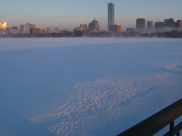
Bostonians are waking up to a grey and crisp mid-week morning as Wednesday, February 11, 2026, brings a familiar winter chill to the city. While the Hub is not bracing for a major blizzard today, the forecast calls for persistent cloud cover and occasional light flurries that will keep residents reaching for their heavier coats and scarves. The city remains in a typical February pattern, characterized by damp air and temperatures that struggle to climb far above the freezing mark.
Morning Conditions: A Shivering Start
The early morning hours in Boston began with light snow showers and temperatures hovering near 31°F. As the morning commute got underway, the "real feel" temperature dipped significantly into the mid-20s, driven by a steady breeze coming from the west-northwest at approximately 19 km/h. Humidity levels have remained high, near 93%, creating a biting dampness in the air. While significant accumulation was not recorded overnight, the National Weather Service noted minor snowfall reports in the region, meaning side streets and sidewalks may have a dusting of snow or patches of frost that require caution from early-morning pedestrians.
Afternoon Outlook: Overcast and Brisk
As we move into the afternoon hours, the mercury is expected to reach a daily high of 38°F. The heavy cloud cover that defined the morning will likely persist throughout the day, though occasional breaks in the overcast sky might offer brief glimpses of the sun. The chance of precipitation during the peak daylight hours remains low at around 15%, but the overall atmosphere will remain decidedly wintry. The gentle but consistent breeze will maintain a wind chill that makes it feel several degrees colder than the actual thermometer reading, so layering remains essential for those spending time outdoors.
Evening and Nighttime Predictions
Heading into the evening and late-night hours, temperatures will begin a steady descent toward a low of 26°F. Forecast models indicate a slight uptick in moisture, with a 20% chance of light snow returning after sunset. Total snow accumulation for the 24-hour period is expected to be minimal—likely around 0.08 inches—but enough to keep the ground damp. The humidity is expected to settle around 64% by tonight, and the skies will remain mostly cloudy as the city prepares for a colder, clearer Thursday ahead.
Wind and Safety Notices
While there are currently no active heavy wind warnings or major storm alerts for the immediate Boston area, the combination of sub-freezing nighttime temperatures and residual moisture suggests that black ice could be a minor factor for late-night travelers. Residents should keep the following in mind:
- Wear insulated, waterproof footwear to combat the damp cold and slushy patches.
- Exercise caution on untreated stairs and walkways where light flurries may have settled.
- Ensure pets are brought indoors tonight as temperatures drop well below freezing.
- Drivers should maintain extra following distance on bridges and overpasses where ice forms first.