Flurries and Frost: A Chilly Saturday Outlook for the Hub
Morning: A Crisp and Snowy Start
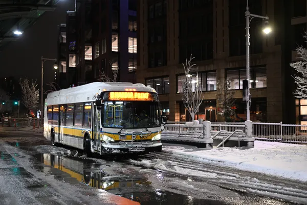
Bostonians waking up this Saturday, February 21, 2026, will be greeted by a distinctly wintry scene. As of the early morning hours, the city is already seeing light snow and scattered flurries. Temperatures are hovering right at the freezing mark of 32°F, but don't let that number fool you. With humidity levels reaching near 100% and a steady breeze, the 'feels like' temperature is significantly lower, sitting at a biting 25°F. Commuters and early risers should be cautious of a thin layer of slush or ice on sidewalks and secondary roads, as approximately one inch of snow accumulation is expected throughout the day.
Afternoon: Overcast Skies and Northward Breezes
As we move into the afternoon, the snowfall is expected to transition into a more consistent cloud cover. While the chance of precipitation drops slightly during the midday hours to about 17%, the sky will remain stubbornly overcast. The high temperature for the day will struggle to climb past 32°F, keeping the city in a deep freeze. A persistent wind from the north will be a major factor today, sustained at roughly 12 mph (20 km/h) with occasional gusts reaching up to 18-19 mph. These winds will keep the wind chill in the mid-20s, making any outdoor activities feel much colder than the thermometer suggests. If you are heading out to Faneuil Hall or the Common, heavy winter coats and gloves are essential.
Evening & Overnight: The Mercury Drops
The evening forecast suggests a gradual clearing of the flurries, though the cold will only intensify. Temperatures are projected to plummet as the sun sets, with overnight lows expected to dip into a range between 18°F and 24°F. While the chance of snow remains at 35% for the late-night period, the primary concern will be the refreezing of any melted snow from the daytime. We are seeing a trend this February where temperatures are averaging nearly five degrees below the historical norm, and tonight will be no exception to that chilly pattern. Residents should ensure their heating systems are functioning properly as we head into a very cold Saturday night.
Travel and Safety Advice
While there are no active blizzard or high-wind warnings currently in place for the Boston metro area, the combination of light snow and freezing temperatures creates deceptive travel conditions. Visibility remains clear at about 10 miles, but the 'black ice' threat increases as we move toward the evening. We recommend that residents keep a close eye on the Sunday forecast as well, as early indicators suggest a more significant heavy snow storm may be brewing for tomorrow night. For today, stay warm, stay dry, and enjoy the picturesque, albeit freezing, winter landscape of the Hub.