Major winter storm crosses the U.S.; Boston forecasters track timing, precipitation type, and travel impacts
What’s driving the storm and where impacts are already unfolding
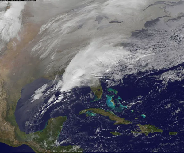
A large winter storm is affecting wide portions of the United States as cold air and moisture interact across several regions. On Monday, January 19, 2026, hazardous travel conditions were reported around the Great Lakes as bursts of heavy snow and strong winds reduced visibility and created slick roads. In western Michigan, a multi-vehicle crash involving more than 100 vehicles shut down a major interstate corridor and prompted emergency sheltering for stranded motorists.
Across the broader Great Lakes and parts of the Northeast, winter storm warnings and advisories have been posted in multiple states. The most intense snowfall has been concentrated in lake-effect corridors, where narrow bands can produce sharp differences in totals over short distances.
What Boston meteorologists are watching
In Boston, meteorologists have been emphasizing that confidence is higher in the national-scale storm evolution than in the local details that matter most for commuters: exact timing, precipitation type, and whether Boston sees mostly rain, a wintry mix, or a period of accumulating snow. Those outcomes depend on storm track, the placement of the rain-snow line, and the depth of cold air near the surface.
Forecasters are also monitoring how quickly arctic air follows the storm. Even when snowfall totals are modest, a rapid drop in temperature can refreeze slush and meltwater, increasing the risk of black ice during the evening and early-morning hours.
Key forecast variables for Massachusetts and New England
Storm track: A small shift can change coastal precipitation from mainly rain to wet snow, while pushing heavier snow inland.
Thermal profile: A shallow warm layer aloft can turn snow into sleet or freezing rain, especially across interior elevations.
Wind and visibility: Even light-to-moderate snow can become disruptive if accompanied by gusty winds and blowing snow.
Post-storm cold: A rapid freeze can create hazardous travel conditions after precipitation ends.
Forecast confidence is typically highest on the large-scale pattern and lowest on the exact rain-snow line and local accumulation sharp cutoffs.
What residents should plan for now
With winter alerts posted across parts of the Great Lakes and Northeast and rapidly changing road conditions already documented, the primary near-term risk for New England travelers is not only snowfall totals but also timing relative to commutes and the potential for icy spots after temperatures fall. Residents planning regional travel should be prepared for delays, rapidly changing visibility in snow bands, and hazardous pavement conditions during and after the storm’s passage.
Boston-area forecasts are expected to continue refining as newer model runs and real-time observations clarify storm track and the placement of cold air over southern New England.