Massachusetts drivers can track real-time road conditions using Mass511, public dashboards, and local traffic maps
A real-time picture of congestion, crashes, and closures
Drivers in Massachusetts have several ways to check current road conditions before leaving home, including public traffic maps, state-operated traveler information tools, and travel-time dashboards designed to show how congestion changes through the day. Together, these resources combine incident reports, construction activity, weather-related impacts, and live camera views to help motorists anticipate delays on major highways and key arterials.
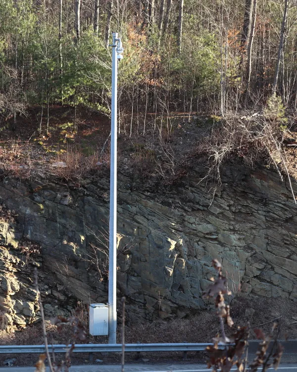
Massachusetts’ statewide 511 traveler information system is designed to provide near real-time updates on traffic incidents, construction, road closures, and weather-related disruptions. The system also supports traffic speed displays and camera imagery across the state, allowing drivers to confirm conditions visually rather than relying only on written incident descriptions.
What Mass511 provides—and what it does not
The Mass511 mobile app is positioned as a statewide tool for interstates, U.S. routes, and state highways. Its feature set includes a map that plots traffic events with icons, access to nearby camera views, and options for audio notifications while driving. The app also supports personalization through accounts that allow users to save routes, areas, and cameras, and to set up email or text alerts for selected corridors.
Separate from real-time incident reporting, MassDOT also maintains a travel-time dashboard focused on typical conditions in and around Greater Boston. Rather than showing only what is happening at the moment, the dashboard presents typical travel times by day of week and hour of day, using a 30-day rolling average for each segment—an approach intended to help travelers identify the times when delays are most likely.
Additional options for commuters and regional travelers
Local media outlets and regional planning organizations also maintain traffic pages that point drivers to interactive maps and traveler information tools. On Cape Cod, for example, travelers are directed to use Mass511 for live cameras, travel times, and traffic conditions, and can also access route-specific information by dialing 511.
Real-time tools emphasize current incidents, congestion levels, closures, and camera confirmation.
Planning tools emphasize typical travel patterns, helping drivers choose lower-delay departure times when schedules allow.
Alert features can be configured for recurring commutes to flag changes on selected routes.
How MassDOT supports third-party traffic displays
MassDOT also provides roadway traffic-related data feeds for authorized developers, including real-time travel times for certain roadways and a feed of planned roadway events that may affect travel. These feeds can help power third-party displays and applications, though planned-events listings are not intended to capture every roadwork activity statewide.
For drivers, the most reliable approach is to pair real-time conditions with travel-time planning: check incidents and cameras for immediate disruptions, then use typical travel-time tools to understand when congestion is most likely to return.