Snow totals climb across Massachusetts as long-duration winter storm continues through Monday evening
Snowfall measurements show wide local variation as storm unfolds
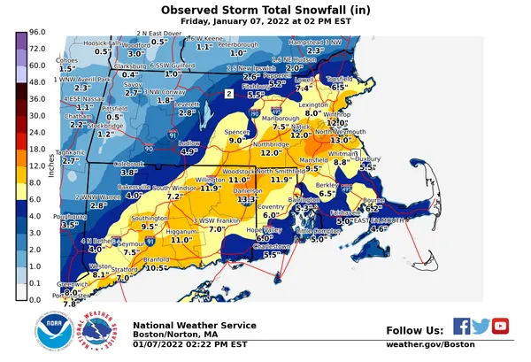
Snow totals continued to rise across Massachusetts on Sunday, January 25, 2026, as a long-duration winter storm pushed through the region with heavier bands affecting some communities more than others. Early reports indicated several inland and North Shore locations had already picked up more than half a foot by late afternoon, while parts of Greater Boston and the South Shore were reporting lower totals at that time.
Preliminary measurements reported Sunday afternoon show totals spanning from about 3 inches in some coastal and urban locations to roughly 10 inches in parts of Central Massachusetts. Weather officials and local spotters typically update snowfall reports throughout an event, and totals can change quickly as bands pivot and accumulate through the evening and overnight hours.
Early Sunday afternoon totals: Central and eastern communities lead
As of mid-to-late Sunday afternoon, some of the higher reported totals in Massachusetts included:
- Grafton: 10 inches
- Sturbridge: 8.1 inches
- Marblehead: 7.5 inches
- Peabody: 7 inches
- Bolton: 6.5 inches
- Charlton, Ipswich, Millis: about 6 inches
Additional communities in the 5-inch range included Saugus (5.5 inches), Lunenburg (5 inches), Ashby (5 inches), Holliston (5 inches) and Westborough (5.4 inches). Several locations were reported between 3 and 4 inches at the same time, including Chelsea (3.5 inches) and Harwich (3 inches). Boston was reported at about 3.5 inches as of 3 p.m.
Why totals differ town to town
Snowfall distribution in major coastal winter storms is often uneven, driven by shifting bands of heavier precipitation, localized intensity changes, and small differences in storm track. Communities that remain under persistent, heavier bands can accumulate several additional inches compared with nearby towns over a short period.
With accumulating snow continuing into Sunday night and the storm expected to remain impactful into Monday, early totals should be treated as preliminary rather than final.
What to watch through Monday
As the storm continues, additional accumulation will depend on how long heavier precipitation persists and where the most intense bands set up. Local officials across the region have also cited storm impacts in planning decisions, including school cancellations in some districts for Monday.
Final snow totals are typically compiled after precipitation ends and reports are quality-checked, meaning the highest totals may not be clear until later Monday.