South Boston St. Patrick’s Day Parade adjusts its route this year amid transit and public safety planning
Route planning shifts focus to access, crowd control, and neighborhood impacts
The South Boston St. Patrick’s Day Parade will follow an adjusted course this year as city services and event organizers finalize operational plans aimed at managing large crowds, maintaining emergency access, and limiting disruptions to residents and businesses.
The parade is a signature late-winter event in Boston that traditionally runs through the South Boston neighborhood and draws thousands of spectators. In Suffolk County, the celebration also coincides with Evacuation Day, a local holiday observed on March 17 commemorating the 1776 departure of British forces from Boston—an overlap that can amplify attendance and pressure on transportation and public safety resources.
How the “historical” route has worked in recent years
In recent editions, official traffic plans have described a “historical” route that begins near the West Broadway corridor and proceeds across East Broadway before turning through a sequence of South Boston streets toward Dorchester Avenue. City traffic advisories for prior parades have listed the route as moving along West Broadway to East Broadway, then to P Street, East Fourth Street, K Street, East Fifth Street, G Street, Thomas Park, Telegraph Street, Dorchester Street, and ending at Dorchester Avenue.
While parade routes can be finalized close to the event date, the corridor has remained consistent enough to guide annual preparations for street closures, towing, transit detours, and pedestrian management along narrow neighborhood streets.
Operational changes often accompany route decisions
Route modifications are typically evaluated alongside other crowd-management measures, including parade start times, staging areas for marching units, and the placement of public safety personnel. Organizers and city departments also plan around the capacity constraints of the Red Line stations serving South Boston, where crowding can trigger temporary station bypasses and bus detours on parade day.
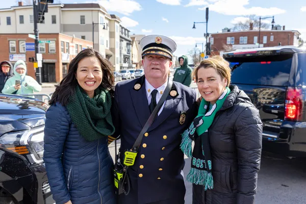
Public safety planning has received heightened attention after prior parades prompted renewed debate at City Hall over enforcement and neighborhood impacts. City officials have publicly called for stricter standards of behavior and stronger controls on public drinking, violence, and property damage in connection with parade-related activity.
What attendees and residents should expect
Street closures and towing zones along the parade corridor and key feeder roads used for staging and emergency access.
Significant impacts to bus routes and potential operational changes near Red Line stations serving the parade area.
Enhanced public safety presence and restrictions on items and behavior along the route, reflecting standard parade-day enforcement practices.
Large-scale neighborhood parades require coordinated planning across transportation, public works, police, fire, and EMS to preserve access for emergency response while managing dense pedestrian crowds.
Detailed route maps, closure lists, and enforcement guidance are typically published as the event approaches, and the most immediate effects are generally concentrated along Broadway corridors, Thomas Park approaches, and Dorchester Avenue connections.