Wet, Slushy, and Snowy: A Complex Friday Forecast for the Hub
Morning: A Chilly and Gray Start
Bostonians waking up this Friday, February 20, 2026, will find a cold and overcast city. Early morning temperatures are hovering right around the freezing mark at 32°F, with a humidity level near 77%. While the commute may start dry, the sky is heavily blanketed with clouds, signaling the arrival of a complex weather system. Winds remain relatively light, coming from the east at approximately 7 mph, but the 'feels like' temperature is staying in the high 20s, making for a biting start to the day.
Afternoon: Transition to a Messy Wintry Mix
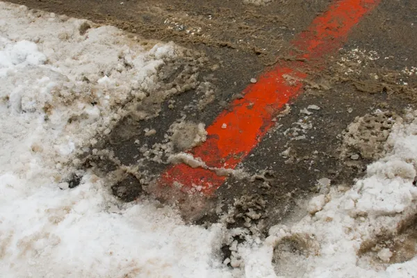
As we move into the afternoon hours, temperatures are expected to climb to a high of 37°F to 39°F. This slight warming trend will complicate the precipitation. Between noon and 5:00 p.m., the region will likely experience a 'messy mix' of rain, sleet, and freezing rain. Because surface temperatures will remain largely above freezing during the peak daylight hours, meteorologists do not expect significant snow accumulation before dark. However, the mixture of rain and melting snow will create slushy conditions on the roads, particularly on side streets and in neighborhoods just outside the immediate city center.
Evening and Night: Snow Takes Over
The real shift in conditions arrives after sunset. As temperatures begin their descent toward a low of 28°F, the rain-snow line will push back toward the coast. By 8:00 p.m., the precipitation is expected to transition into a more consistent snow. Forecasters anticipate the highest potential for accumulation to occur overnight, with some estimates suggesting up to 2 to 3 inches of fresh cover by Saturday morning. The evening commute could be particularly tricky as wet surfaces begin to freeze and new snow coats the pavement.
Travel Alerts and Safety Warnings
The National Weather Service has issued a Winter Weather Advisory for areas west of I-95, effective from Friday evening through early Saturday morning. This alert highlights the risk of light icing and slick road conditions. While this is not categorized as a major winter storm, the combination of freezing rain and late-night snow makes for hazardous travel. Residents are advised to exercise caution on the Massachusetts Turnpike and other major routes where visibility may be reduced. For those heading north toward the New Hampshire border, be prepared for more significant all-snow events, as milder air will have less of an impact in those regions.